
Geological investigation in the vast Iranian region lying E of the Zagros Thrust began in the first half of the 19th century, but until about four decades ago were mostly based on road reconnaissance or else were focused on a few areas of particular geological or economic interest and relatively easy access.
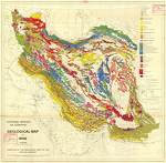
This situation changed in 1950,when the newly created National Iranian Oil company began a more systematic approach by reconnaissance geological fieldwork through large parts of central, N and E Iran, as well as detailed exploration in a number of selected regions such as the Qom area and the Kavir Basin in the central Iran, the Caspian region and Kopetdag Range in the N Iran. An important result of these was the publication of the first geological Map of Iran on a scale of 1: 2 500 000.
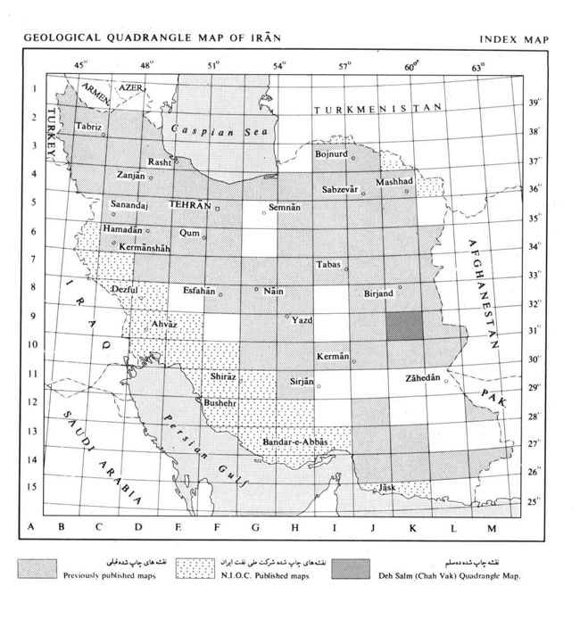
In 1959 a law promulgating the Geological Survey of Iran was passed. and in 1962 the Survey began to operate.One of the main task of this young organization was the preparation and publication of a quadrangle map series on a scale of 1:250 000, a task which naturally called for a systematic geological study in all parts of the country. Fieldwork for these maps have been completed and a total of 121 maps have already been published. Detailed geological mapping on the 1:100000 scale have also been carried out. This work is now well advanced. The Geological Survey has also been engaged in the production of a series of thematic maps such as tectonics, seismotectonics, metamorphic, metallogenic, etc. In the field of geophysics, the total intensity map, (1:1.000.000) and aeromagnetic maps on a 1: 250.000 scale covering entire Iranian territory have been published. At the same time, important contributions have been made by several foreign organizations in cooperation with the Geological Survey of Iran.